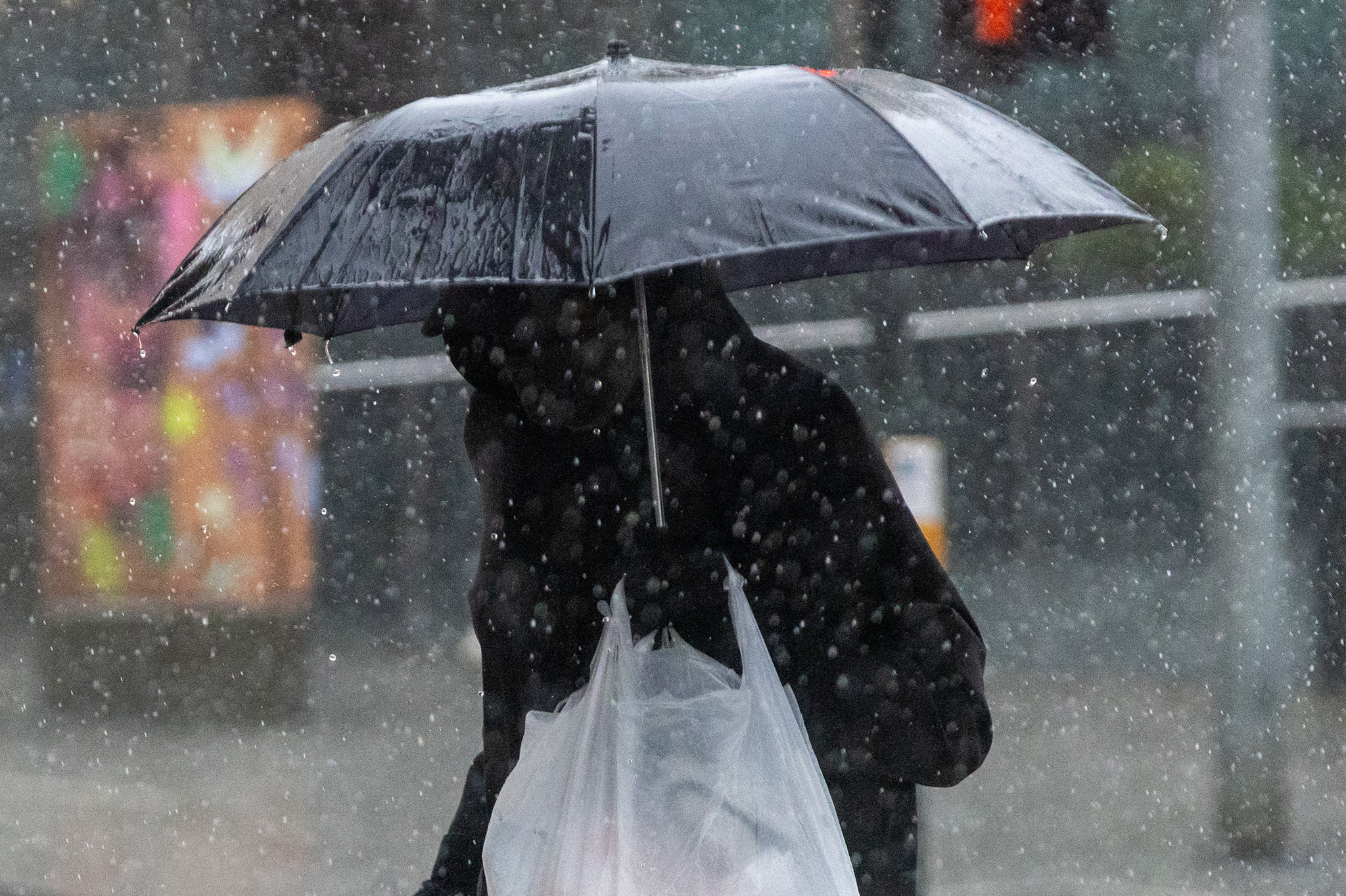
Historic storm breaks 1,000-year rainfall record in parts of Bay Area
Posted on 11/23/2024

This week’s atmospheric river storm smashed some heavy rainfall records in parts of the Bay Area, especially the North Bay, before mostly petering out by Saturday morning. Downtown Santa Rosa received 12.47 inches of rain in a three-day period, the National Weather Service said on social media, breaking a thousand-year record.
As of Saturday morning, the Santa Rosa Airport has seen 386% of its normal rainfall amounts since Oct. 1, National Weather Service meteorologist Ryan Walbrun told SFGATE.
“They’re at 15.48 inches, and they should be at 4.01 for a normal year,” Walbrun said.
Advertisement
Article continues below this ad
The bomb cyclone storm system first battered the Pacific Northwest this week, killing two people in Seattle and causing power outages throughout the region beginning Tuesday before arriving in Northern California.
Flash floods caused landslides and road closures across the Bay Area on Friday, with some roads still being closed due to flooding in San Francisco, Oakland, Napa, San Jose and parts of Contra Costa county. A massive 15-foot pothole closed a southbound lane of Highway 101 in San Francisco early Saturday morning. All lanes appear to be open as of Saturday afternoon.
Flood warnings remain in effect in areas along the Russian River near Guerneville, which saw flood impacts that submerged some vehicles and buildings on Friday.
Advertisement
Article continues below this ad
The region is still experiencing some scattered showers, with a chance of “steady precipitation” for Sunday night through Monday, Walbrun said.
“In comparison to what we just went through, those are just leftover, lingering showers,” he added. “They’re really not comparable at this point anymore.”
Comments( 0 )
0 0 3

:max_bytes(150000):strip_icc():focal(717x430:719x432)/Won-Jang-112324-2cc60236a75c4f009d7136ad03e8c0ef.jpg)


