As deadly bomb cyclone whirls into Seattle, another may be right behind
Posted on 11/20/2024

A cyclone reverberated into the Pacific Northwest on Tuesday evening, bringing blizzard-like conditions to the Cascades, making power lines flicker and go dark in the lowlands, and funneling highly erratic winds across Puget Sound.
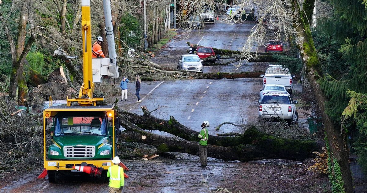
Gusts from the so-called bomb cyclone topped 50 mph at Seattle-Tacoma International Airport, diverting flights. Evergreens toppled.
One woman in her 50s was crushed to death by a fallen tree at a homeless camp in Lynnwood.
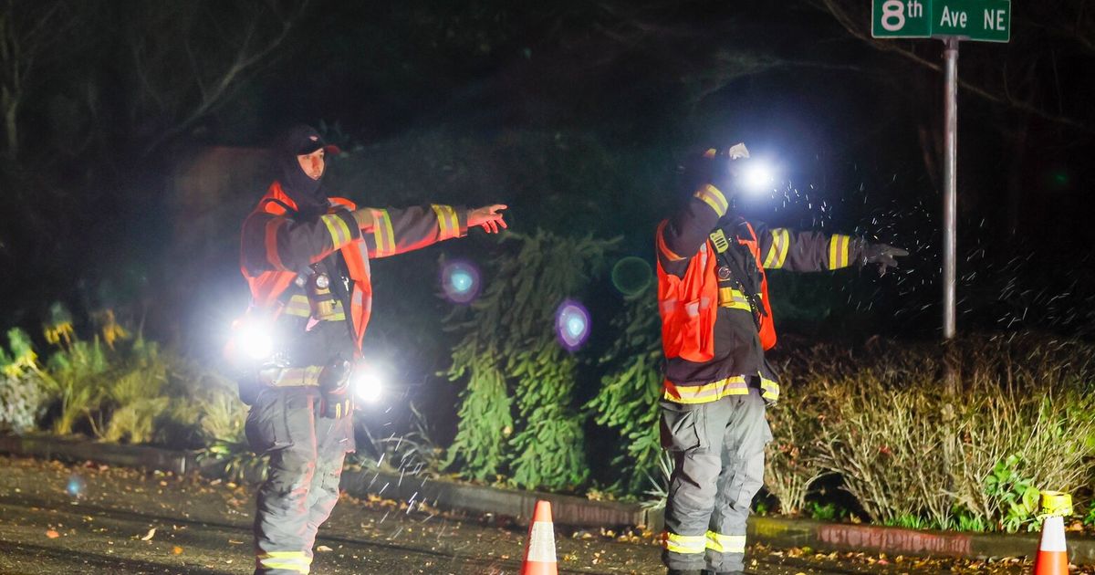
At least 79,000 customers were without power in Seattle as of Tuesday night, according to Seattle City Light. More than 500,000 outages were reported around Western Washington by various public utilities.
A bomb cyclone — known for its explosiveness, its galactic shape and an eye known as bombogenisis — is a storm that forms quickly when central pressure drops rapidly in a 24-hour period, according to the National Oceanic and Atmospheric Administration.
The first rumblings of the cyclone came over the weekend.
Lynn McMurdie, professor of atmospheric sciences at the University of Washington, wasn’t sure what to expect as the storm gathered strength in the Pacific Ocean.
In her few spare moments Tuesday, she continued to check pressure levels at offshore buoys. As luck would have it, the storm passed directly over one. And the pressure sank fast.
“I kept going: ‘Oh, it’s dropping quite a lot,’ ” McMurdie said. “ ‘Oh, look at that.’”
On an old-fashioned pressure gauge, a drop of 33 millibars would cause the mercury to sink about an inch, for example. Scientists classify a low-pressure system as a bomb cyclone when it drops 24 millibars in 24 hours.
This system sank 60 millibars in that time.
Meteorologists predicted this cyclone would remain hundreds of miles offshore but act like a vacuum, sucking air toward it and causing a rapid increase in easterly winds across Western Washington.
“The center of the storm is not going to come on shore over Washington or anywhere near us, so that does lessen some of the threat,” said Dustin Guy, a meteorologist with the National Weather Service in Seattle. “And it’s not to say we aren’t going to have some very strong winds. But if this system was going to make landfall … we’d be talking about an even stronger wind situation than we already are.”
It was expected to dissipate by Wednesday.
But the pattern still won’t be finished then, McMurdie said. A second low-pressure system, possibly another bomb cyclone, looks to be following the first.
“And this is not exactly a wimpy storm either,” she said.
Watch for the second system to develop later in the week, maybe Thursday or Friday, McMurdie said. It might head a little further north, closer to the shore. So its effects might be felt a little more strongly in Puget Sound.
Bomb cyclones can happen in quick succession, McMurdie said, so a repeat isn’t unheard of. But the strength of the first is a little unusual, closer to the storms that form in the Atlantic Ocean, rather than what she typically sees here.
The region was under a wind advisory through 4 a.m. Wednesday, according to the Seattle branch of the National Weather Service. Sustained winds of 20 to 30 mph, with gusts reaching up to 50 mph, were expected even in the more sheltered parts of Puget Sound.
Over a third of Clallam County’s population had lost power by Tuesday afternoon, according to the local public utility district.
Meteorologists also reported a chance of “mountain waves” flowing off the Cascades and into the foothills, which could affect airports and air traffic. Mountain waves are updrafts and downdrafts that occur when rapidly flowing air runs into a steep front. They can produce turbulence in narrow areas.
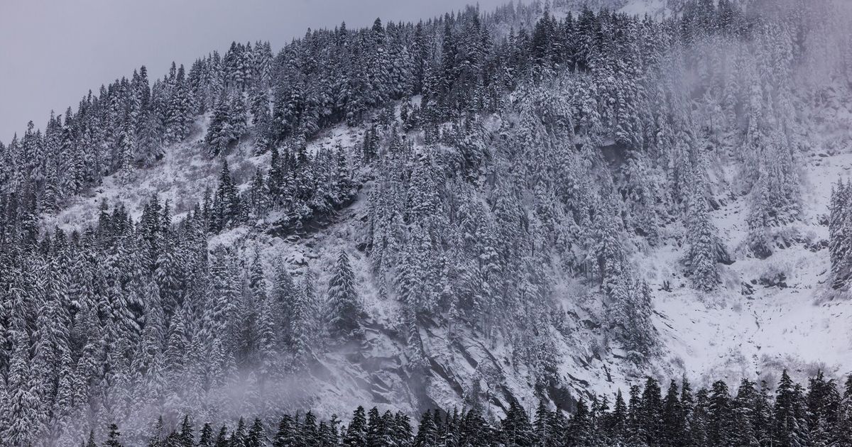
The cyclone also caused a blizzard warning in the Cascades.
What happens when you mix heavy, fresh snow with heavy wind?
“This is a perfect recipe for avalanches,” said Dallas Glass, deputy director and forecaster for the Northwest Avalanche Center. “Avalanches triggered by people can occur during the storm or even days after a storm has stopped.”
A post from the Northwest Avalanche Center alerted skiers — excited by the news of ski areas announcing open dates thanks to an already plentiful snowpack — to watch for rapidly changing conditions and beware of shallow snow cover at low to middle elevations.
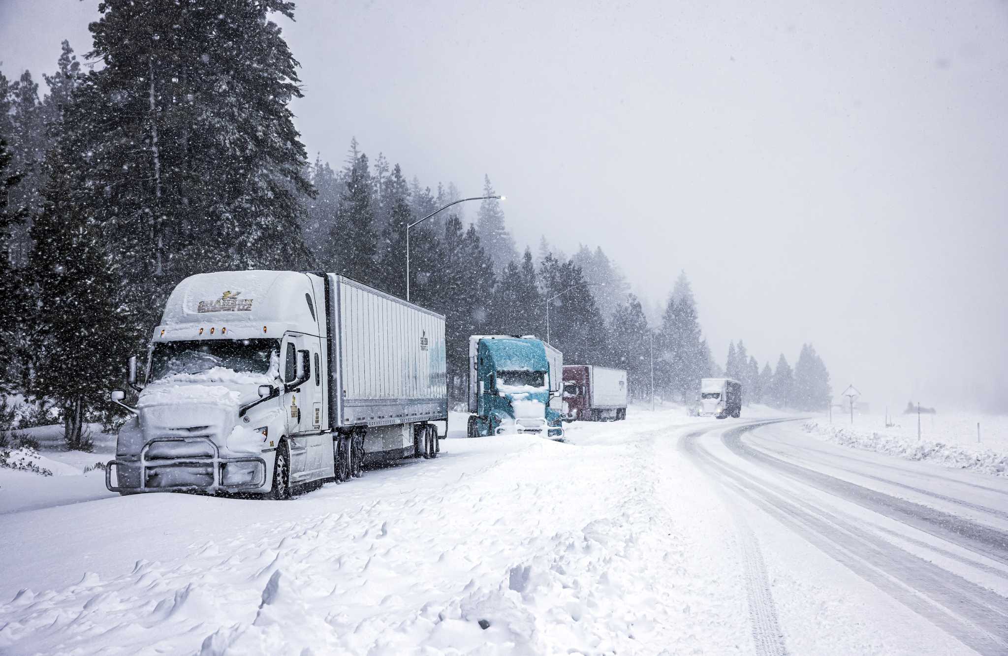
Drivers were advised to avoid mountain passes. The west slopes of the Cascades were likely to see 3 to 12 inches of powder, according to the National Weather Service. Around 8:30 p.m. Tuesday, a semi truck jackknifed on Interstate 90 a few miles west of Cle Elum, blocking the freeway with no estimated time for reopening.
“We have very strong winds combined with that snow and that really reduces the visibility and makes conditions particularly treacherous for travel,” Guy said.
Air from high-pressure areas, like over the land, will rush to the low-pressure zone, forming strong winds. Those gusts will be the most powerful out on the coast or in the Strait of Juan de Fuca, though more exposed places inland like Bellevue could see strong winds as well.
Ocean waters will swell too, maybe up to 20 feet. That’s winter in the Pacific Northwest, McMurdie said. Wind, rain and snow all at the same time.
By Tuesday night, winds bellowed as high as 69 mph off the coast of Cape Elizabeth near Taholah, Grays Harbor, and up to 63 mph at nearby Destruction Island, Guy said. Even in the more sheltered Puget Sound, winds picked up, hitting 66 mph in Enumclaw. Wind speeds could likely increase heading later into the evening.
The bright side, Guy said, is that the cyclone was about 300 miles offshore and wasn’t expected to make landfall in the region.
“Even into Wednesday,” he said, “it’s going to spin around offshore for the next couple of days and slowly weaken.”
Seattle Times staff reporters Paige Cornwell and Vonnai Phair contributed to this story.
Comments( 0 )
0 0 0
0 0 2


