‘Bomb Cyclone’ Impacts Starting Tonight In Pacific Northwest And Northern California. Here’s What To Know.
Posted on 11/20/2024

Topline
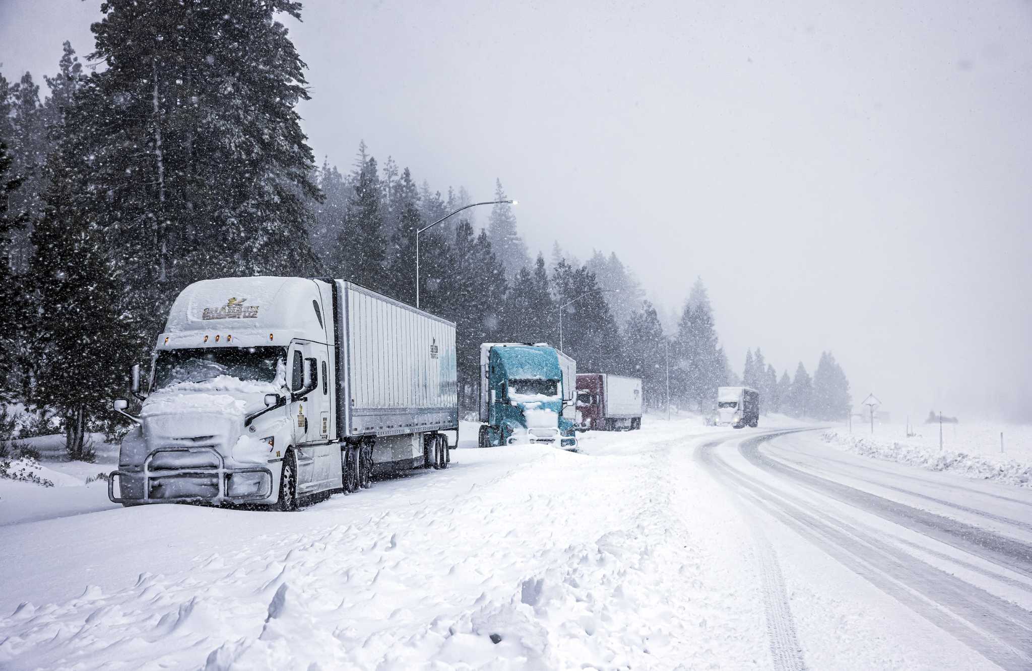
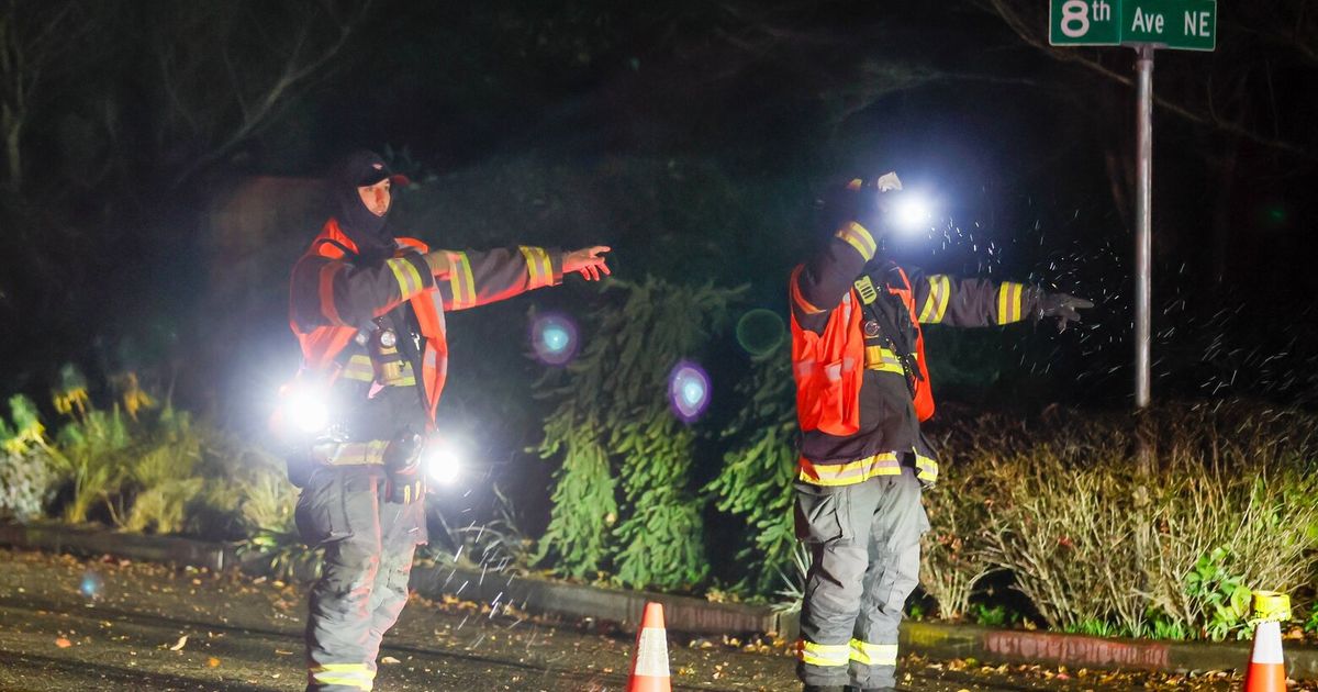
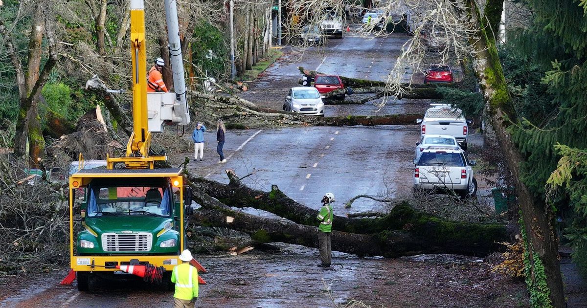
A powerful storm is forecast to bring heavy rain, strong winds and snow to the Pacific Northwest and northern California this week, potentially producing life-threatening weather hazards and power outages over the next few days.
Key Facts
Get Forbes Breaking News Text Alerts: We’re launching text message alerts so you'll always know the biggest stories shaping the day’s headlines. Text “Alerts” to (201) 335-0739 or sign up here.
What Is A Bomb Cyclone?
The term “bomb cyclone” is derived from the bombogenesis process, which describes a low pressure system in which the pressure drops at least 24 millibars (a unit of pressure) within a 24-hour period—signaling significant intensification. The NWS in Medford, Oregon, said Tuesday that a storm as strong as this week’s “occurs, on average, about once every ten years” and that it will produce “some of the strongest winds we have seen in several years.” Bomb cyclones have impacted the U.S. a few times in recent years, with two materializing in 2018 and 2022 and another forming last month in the form of Hurricane Milton, according to the Associated Press.
How Strong Is The Bomb Cyclone?
The system’s minimum pressure is expected to fall to 943 millibars by Tuesday evening, according to The Washington Post, far low enough to rival pressures of strong major hurricanes. Lower pressures in storm systems are associated with stronger intensity.
How To Prepare For The Bomb Cyclone
NWS recommends people within affected areas to secure loose outdoor items, trim branches near their homes and prepare for power outages. Ready.gov advises those experiencing power outages to only use generators outdoors and away from windows, not use gas stoves or ovens to heat homes and plan for alternative power sources that may be needed during an outage.
What Closures Have The Bomb Cyclone Caused?
Probable high winds have shut down classes, events and services at Bellevue College and resulted in the closure of the Lake Washington Institute of Technology’s campus.
Key Background
The NWS predicted last month the seasonal temperatures in northern California and the Pacific Northwest would remain about the same between November and January. It also forecasts parts of the Pacific Northwest to have above average precipitation. However, the western U.S. could potentially have less precipitation this year, as scientists are giving La Niña, a cooling of sea-surface temperatures in the eastern Pacific Ocean linked to drier winters in the region, a 57% chance to emerge late this year.
Further Reading
A once-in-a-decade bomb cyclone is taking shape off the West Coast (CNN)
Will La Niña emerge this year? The forecast is starting to shift (San Francisco Chronicle)
Follow me on Twitter or LinkedIn.
Comments( 0 )
0 0 0
0 0 2


