Pacific 'Bomb Cyclone' Will Usher In Strong Atmospheric River To West
Posted on 11/19/2024

A powerful "bomb cyclone" developing off the West Coast will usher in a strong, long-duration atmospheric river to the region, producing flooding rain, feet of snow and high winds through the end of the week.
(MORE: Bomb Cyclones 101)
Rapidly-Intensifying Storm Kicks Off Soaking Pattern
On Tuesday, low pressure will undergo what meteorologists call bombogenesis over the northern Pacific, which is where the term "bomb cyclone" originates from. That means its pressure will have dropped by 24 or more millibars in 24 hours or less, indicative of a storm that is intensifying quickly, which can result in more significant impacts than what a weaker storm would produce.
In this case, the storm will also haul in a long-lasting atmospheric river moisture plume that is packed with copious amounts of rain and mountain snow, especially in Northern California and parts of Oregon.
Peak impacts from this soaking pattern will unfold Tuesday through Friday, possibly lingering into Saturday.
(MORE: Atmospheric Rivers 101)
Breaking Down The Impacts
This could result in flooding for poor drainage areas as well as possible flooding on creeks and rivers. Mudslides could be a threat too, especially in any recent wildfire burn areas. Rock slides are possible along some mountain roads, as well.
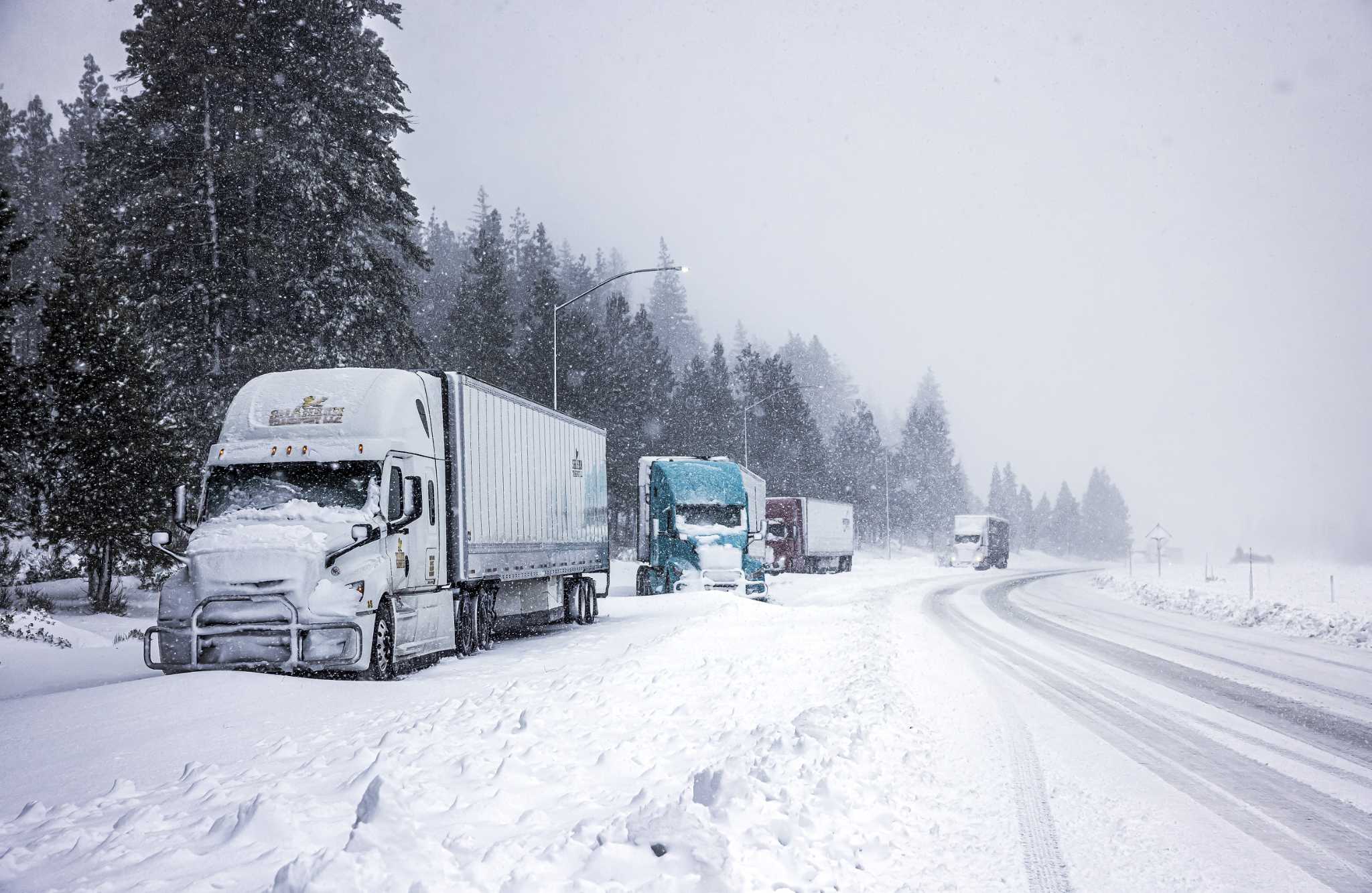
Snowfall - With moisture funneling into the Northwest day after day, snow will be measured in feet from the higher elevations of the Cascades southward into the Siskiyou Mountains of Northern California. Snow levels will start out low but then rise through the week, impacting travel in some passes.
Snowfall at times will impact Washington's Snoqualmie Pass along Interstate 90 and Siskiyou Pass along Interstate 5 near the Oregon and California border.
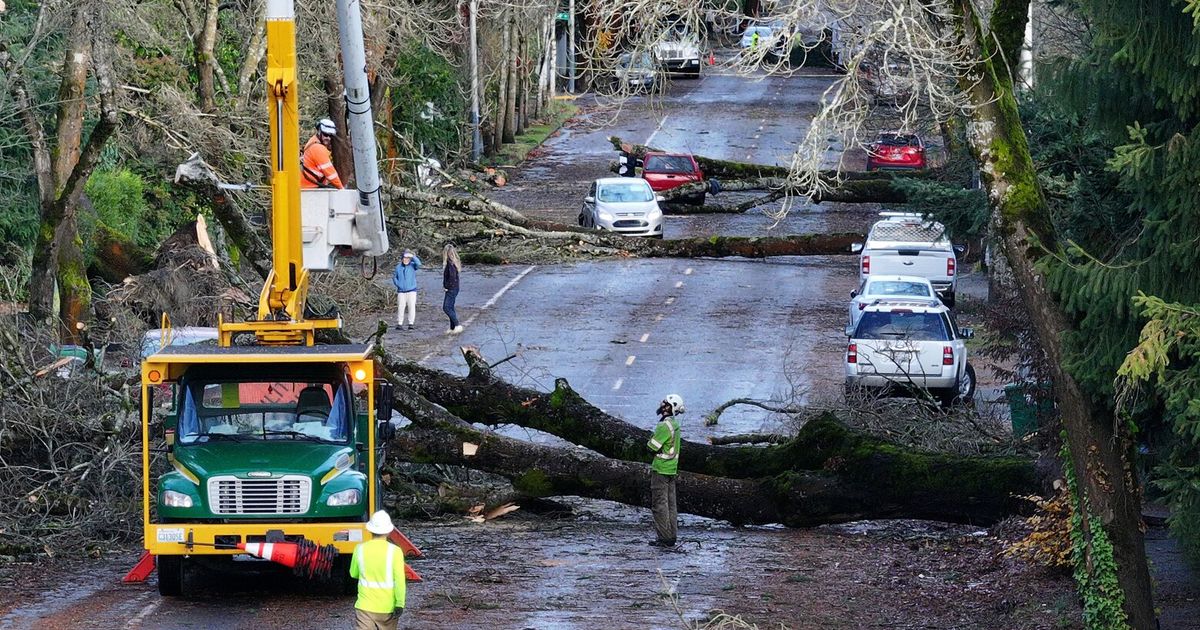
High Winds - The strongest bout of winds from this storm pattern will arrive later Tuesday and last into early Wednesday. Coastal parts of Northern California, Oregon and Washington might see gusts over 60 or 70 mph at times. Stronger gusts will also affect inland areas through the Cascades and its foothills. Some power outages and downed trees are possible impacts.
After those peak winds occur, gusty winds will continue at times throughout the rest of the week.
Comments( 0 )
0 0 0
0 0 2


