Bomb Cyclone Headed Toward the West Coast
Posted on 11/18/2024

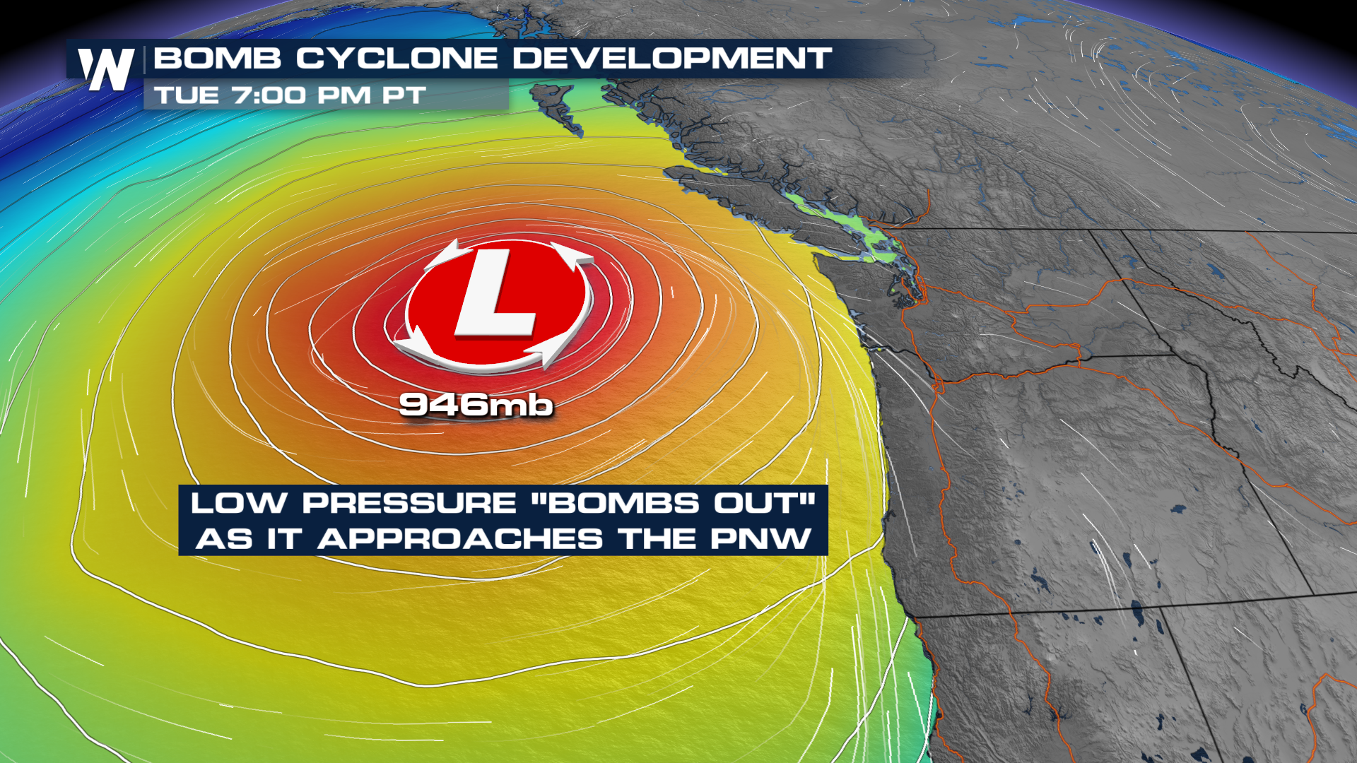
An intense mid-latitude cyclone is expected to take aim at the West Coast of the United States Monday night into Tuesday, ushering a strong atmospheric river into Oregon and California. This low-pressure system is likely to go through bombogenesis, or "bomb out," a term reserved for low pressure systems that intensify rapidly, typically with a pressure drop of at least 24mb in 24 hours. This definition changes based on latitude.
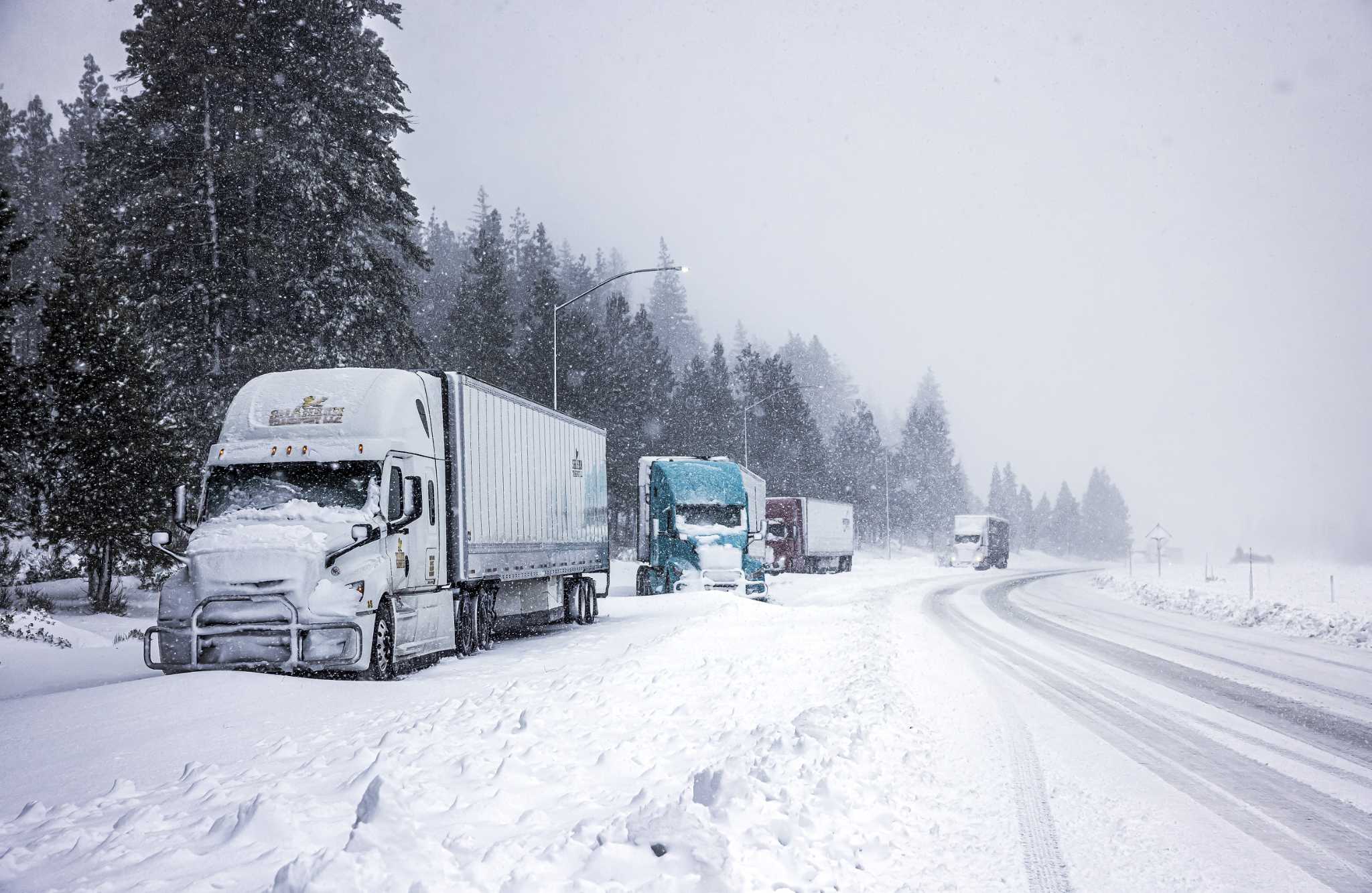
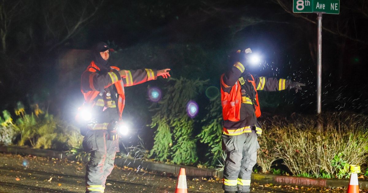
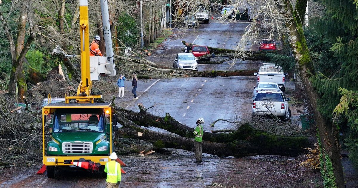
The storm system headed toward the West Tuesday through Thursday will have potential to more than double that pressure drop, with forecast models showing a drop of 50-60mb in less than a day, starting at over 1000 mb Monday night, possibly dropping below 950 mb by Tuesday night. This intense storm system is expected to bring major impacts to areas of the Northwest and northern California with heavy rain, strong winds, and big swells.
As the low-pressure system develops, it will tap into a stream of sub-tropical moisture, creating what's known as an atmospheric river. These systems can create extreme precipitation and gusty winds.
The University of California in San Diego has created a scale to help understand and prepare for impacts from these systems, which ranges from 1 to 5. Some areas along the California coast could see level 4 impacts, which is in the "extreme" category.
Rainfall is expected to be very heavy from Tuesday through Thursday, with rainfall totals possibly surpassing a foot or more in Southern Oregon and Northern California. Flooding in these areas is likely, including river flooding and flash flooding.
Comments( 0 )
0 0 0
0 0 2


