40 million people under red flag warnings in the Northeast due to fire danger
Posted on 11/17/2024

More than 40 million people are under red flag warnings across eight states as the fire danger remains elevated in the Northeast.
Winds may gust up to 35 mph with relative humidity levels as low as 15% to 30% in the region. The soil remains dry with ongoing and worsening drought conditions
While Sunday brings a slight improvement in fire weather conditions, the overall fire risk will continue into next week across much of the Northeast.
There is no measurable rain in the forecast for the next several days in this area, although there are some signs that much-needed rain may arrive in the region late Wednesday into Thursday. At this point, it doesn’t look like a complete soaker, but any bit of rain will help.
The lack of rainfall will only exacerbate the moderate to extreme drought conditions across the area.
Hawaii fire threat
Hawaii is the ninth state to be under Red Flag Warnings, where nearly the entire state -- the leeward side every island -- is covered in the fire weather alert.
Winds could gust up to 50 mph today, with relative humidity as low as 45%, along with dry fuels on the ground which would all combine to rapidly spread any fire that sparks.
Parts of Maui, Honolulu, and Kauai counties are under severe and even extreme drought conditions.
Storm out west
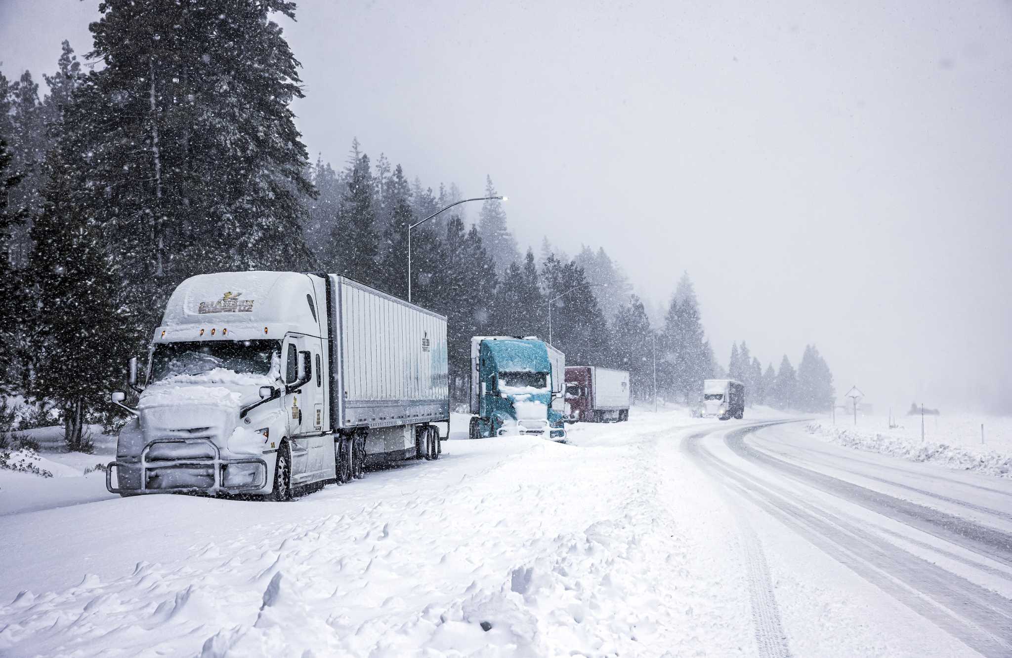
In the Pacific Northwest, a strong storm system will be moving onshore this weekend, bringing periods of rain and significant mountain snow.
Winter alerts are in effect for much of the Cascades and northern Rockies, covering portions of six states from Washington to Utah. At least 1 to 2 feet of snow is possible in the mountains, especially above 2,000 feet in elevation.
Severe threat to Texas
A new storm will be forming in the Southern Plains on Sunday, bringing a severe weather potential to portions of Texas.
By Monday morning, the threat will have moved slightly east to include Dallas where severe wind gusts are possible during the morning commute.
As storms continue to push east Monday afternoon and evening there is a low risk for severe gusts across parts of the southern Plains, Ozarks and lower Mississippi Valley.
Tropical Storm Sara
Tropical Storm Sara is producing life-threatening and catastrophic flooding over portions of Central America, according to the National Hurricane Center.
Sara is expected to move ashore in Belize on Sunday.
The National Hurricane Center forecasts through early next week, rainfall amounts of 15 to 25 inches with isolated storm totals around 35 inches area expected over northern Honduras. This rainfall will lead to widespread areas of life-threatening and potentially catastrophic flash flooding and mudslides, especially along and near the Sierra La Esperanza.
Elsewhere across the rest of Honduras, Belize, El Salvador, eastern Guatemala, western Nicaragua, and the Mexican State of Quintana Roo, Tropical Storm Sara is expected to produce 5 to 10 inches of rain with localized totals around 15 inches through early next week. This will result in areas of flash flooding, perhaps significant, along with the potential of mudslides.
Sara is expected to dissipate as it moves over the Yucatan Peninsula and toward the Gulf of Mexico.
The remnants of the storm are expected to bring rain to the central and eastern Gulf on Tuesday and Wednesday.
Comments( 0 )
0 0 0
0 0 2

:quality(70)/cloudfront-us-east-1.images.arcpublishing.com/adn/JF6FH7DLYVBLZMKLMUUM52A2CI.JPG)


