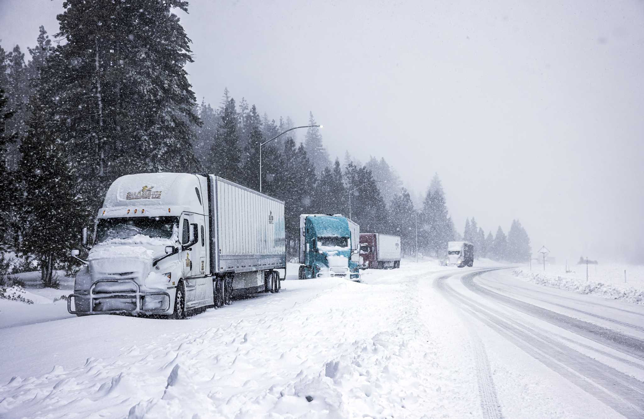
Storm unleashing snow to the Rockies, with tornado and flooding risks in central U.S.
Posted on 11/09/2024

An expansive storm system is swirling through the central United States and unleashing a kitchen sink of weather woes — tornadoes and flooding are possible in Texas and Oklahoma, and heavy snow could accumulate up to 4 feet in spots across Colorado and New Mexico.
Winter storm warnings blanket most of central and eastern Colorado and now include Denver and Boulder. In New Mexico, Albuquerque and Santa Fe have winter storm warnings too, but a blizzard warning has been hoisted in northeastern parts of the state.
On the warm side of the system, flood watches cover western Oklahoma and a large portion of Texas Hill Country and the Panhandle. The Storm Prediction Center is also warning of severe weather potential in locations including Dallas, Waco and Killeen. That’s where a tornado or two is possible, perhaps during the Friday evening rush hour.
Advertisement
Storms systems in November and December are notoriously multifaceted; they feed off the battle between the withdrawal of summer and the encroach of winter, deriving energy from clashing temperatures. It’s no surprise that this system is producing both snowstorms and severe weather.
What to know about the system
A bowling ball of cold air, low pressure and spin aloft has been diving east out of the Four Corners. That’s been generating a new surface low pressure system near the Red River on the Oklahoma-Texas border.
Ahead of that counterclockwise-spinning low, southerly winds have been pumping north mildness and moisture. An abundance of Gulf moisture has been leading to flooding and thunderstorms in the southern Plains.
Some of that moisture has even been pinwheeled back around the low into the Colorado Rockies. That’s where it’s falling as snow, since cold air is being dragged southeast on the back side of the low.
Snow in the Rockies
It’s day two of heavy snowfall in the Rockies. Colorado’s Sangre de Cristo Mountains and the mountains of northeastern New Mexico have been hardest hit, with winds over 35 mph prompting blizzard warnings.
Advertisement
Here’s a rundown of how much snow has fallen thus far:
37 inches in La Veta Pass, Colorado
36 inches in Rociada, New Mexico
34 inches in Cuchara, Colorado
28.7 inches in Beulah, Colorado
24 inches in Golden, New Mexico
23 inches in Trinidad, Colorado
The Albuquerque area has seen 3 to 5 inches, while the Denver area is experiencing a range from 10 inches on the south side of town to 3 inches in the northern sections of Boulder.
Snow will continue intermittently into Saturday morning across the Albuquerque and Denver metro areas, but there’s a chance Denver gets more solid accumulation Friday night into early Saturday. Denver has been on the fringe of the greater moisture, which lurked east, but that moisture is backing into the city and causing heavier snows.
Tornado risk in Central states
A subtle zone of tornado potential will include Dallas, Waco, Killeen and Fort Worth on Friday.
Those cities are in the “warm sector” of low pressure, where warmth and moisture are wafting north ahead of the low pressure system’s trailing cold front. That translates to instability — thunderstorm fuel — that will allow thunderstorms to blossom.
Advertisement
These storms will be sculpted into rotating cells due to changing winds with height. Winds at the low-levels are out of the southeast, whereas they veer to the southwest at 10,000 feet. Any clouds that span multiple layers of atmosphere will feel those changing winds and rotate.
Moreover, there’s a subtle warm front lurking near the Metroplex. Warm fronts tend to impart extra low-level helicity, or twist, which boosts the tornado risk.
Scattered thunderstorms are likely between 3 p.m. and 6 p.m., with more numerous storms through 9 or 10 p.m. as a squall line approaches.
Flooding in southern Plains
The influx of Gulf moisture is contributing to heavy rains for Central Texas and southwest Oklahoma. Bands of downpours have been passing repeatedly over the same areas for days — and probably will through the evening.
Advertisement
In Texas, San Angelo has already seen 3.74 inches of rain. Northwest of Fort Worth in Graham is at 3.39 inches, and Quanah — near the Red River — has had 3.3 inches.
A few locations have seen nearly half a foot of rain. In Central Texas, Eastland has tallied 6.09 inches. To the southwest, Cross Plains is at 5.40 inches.
Some locations may see another inch or two before rain tapers down and shifts east into the late evening.
Comments( 0 )
0 0 0
0 0 2

:quality(70)/cloudfront-us-east-1.images.arcpublishing.com/adn/JF6FH7DLYVBLZMKLMUUM52A2CI.JPG)


