Quite a strong Halloween storm with t-storms, wind and U.P. snow
Posted on 10/29/2024

Halloween is going to have big weather changes coming across Michigan during the day and evening. A strong large-scale storm system will bring a line of thunderstorms, gusty winds and eventually a sharp temperature drop. The Upper Peninsula will even get in on some accumulating snow.
There is a reason why some of the fall-season storm systems are called the “Gales of November.” The low pressure centers, which signify how strong a storm system is, become deeper in late fall. These deep storm systems generate a lot of wind. The storm system for Halloween isn‘t quite to the wind making status of the famous November storms, but it certainly will be a vigorous storm.
The storm scenario is the low pressure center will move from the Plains to Wisconsin to around Leelanau County in northern Lower Michigan. This keeps all of Lower Michigan in the warm sector of the storm until 6 p.m. to 8 p.m. A strong cold front will bring a line of showers and thunderstorms across Lower Michigan during the middle of the day on Halloween. With cold fronts we usually only get a couple of hours of off and on rain. The rain can be accompanied by lightning.
Here’s the rain forecast in one hour increments so you can see the progression of the storm system. You also see the snow developing on the cold northwest side of the storm.
As we get into the evening the cold front and thundershowers will move east and south of Michigan. Then we will get into an abrupt temperature drop. The new air won’t really be cold for this time of year, but will feel like a shock coming from 80 degrees today and Wednesday and 70 degrees midday on Halloween.
The temperature forecast below clearly shows you the cold front and the rapid drop in temperatures sweeping across Lower Michigan after 6 p.m. This means Ann Arbor, Detroit, Flint, Saginaw and Bay City probably don’t get into cooler air until near the end of trick-or-treating. The west side of Lower Michigan will have the temperatures drop into the 50s during trick-or-treating.
When we have a deep low pressure system that always means some stiff winds. Halloween will have gusts over 30 mph throughout the day, with some gusts near 40 mph.
Here’s the wind gust forecast for mid-afternoon. You see the whole state covered in green and yellow colors, which are gusts over 30 mph. The strongest gusts in the afternoon will stretch from Grand Rapids north to Traverse City and Petoskey.
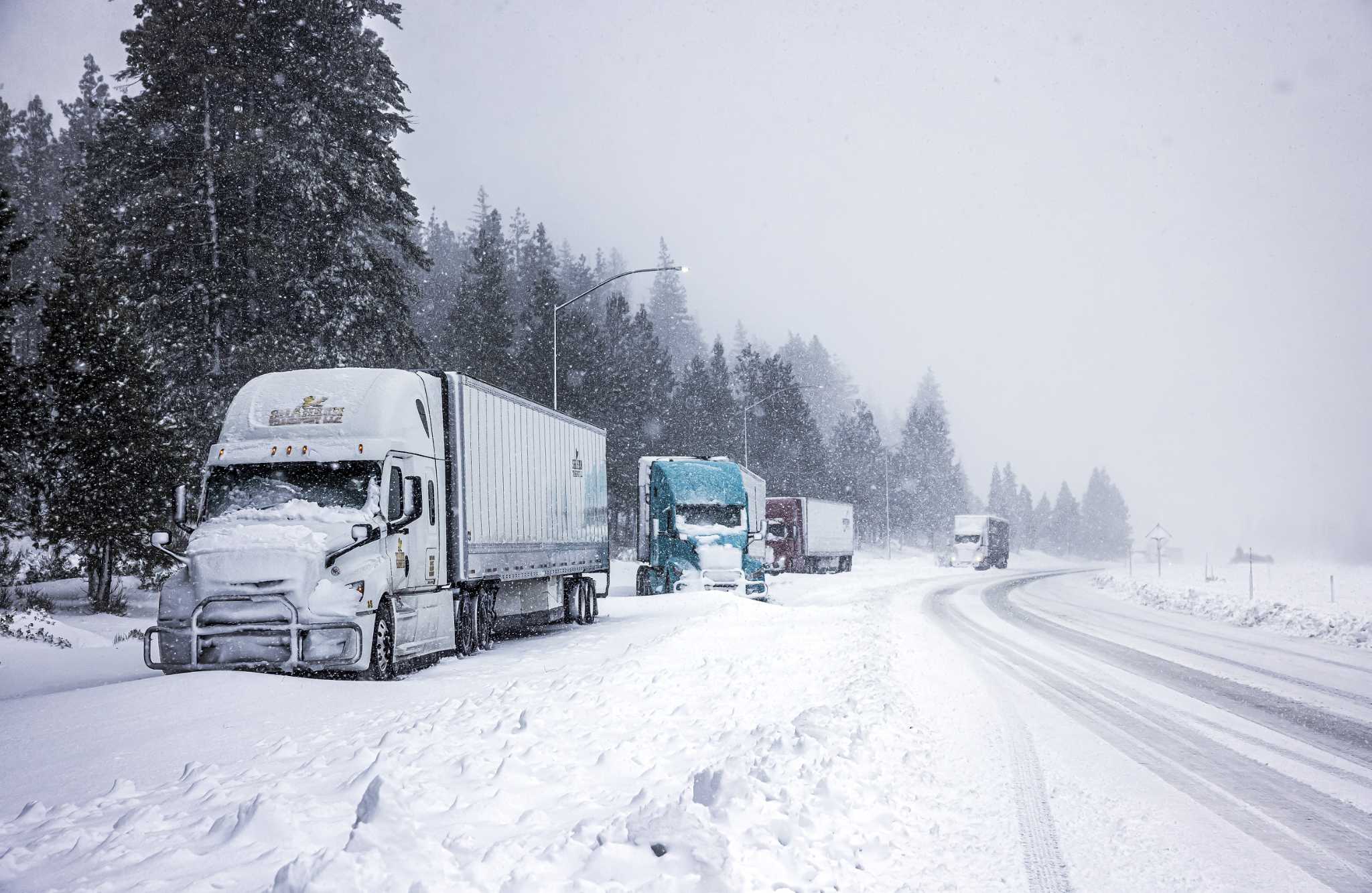
The cold northwest side of the storm will bring some accumulating snow to the western Upper Peninsula. While the forecast shows the heaviest at six to 12 inches of snow, melting will cut that in half. Some areas could have three inches of solid snow on Halloween.
Halloween will definitely be windy the whole day and possibly thunderstormy for a few hours.
Stay updated here in case a severe thunderstorm possibility is issued.
Comments( 0 )
0 0 0
0 0 3

:quality(70)/cloudfront-us-east-1.images.arcpublishing.com/adn/JF6FH7DLYVBLZMKLMUUM52A2CI.JPG)


