Storm Lashes the Carolinas With Heavy Rain and Strong Winds
Posted on 09/16/2024

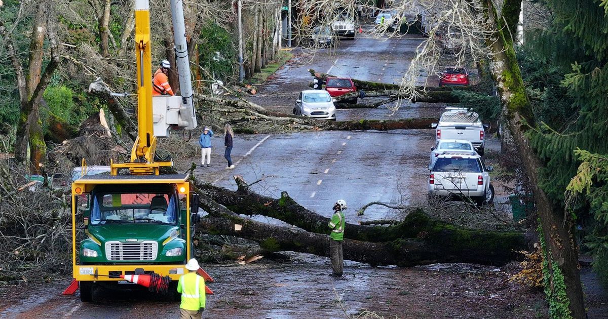
A storm system was spinning off the coast of the Carolinas Monday, bringing winds up to 40 miles per hour, flooding and storm surge to an area that was already battered by Tropical Storm Debby last month.
What is currently being called Potential Tropical Cyclone Eight will likely make landfall near Georgetown, S.C., late on Monday. While a few factors may prevent it from becoming the next named storm, Helene, the hazards will be the same.
Flash flooding was ongoing early Monday afternoon as over half a foot of rain had fallen since midnight across southeastern North Carolina. Forecasters are warning that considerable flash flooding will likely continue, with an additional four to eight inches of rainfall possible through the afternoon.
Tropical Storm Debby brought more that a foot of rain across some parts of the Carolinas in August, submerging vehicles and even putting waste sites at risk. Forecasters did not expect as much rain for Monday. Tropical storm warnings were issued from south of Charleston, S.C., to north of Wilmington, N.C.
The chances of the system becoming a tropical or subtropical cyclone over the next twelve hours may be starting to decrease, forecasters said early Monday morning.
A typical storm system that moves across the United States will get its energy from the interaction of cold and warm air masses, which forecasters believe is happening off the coast of the Carolinas this morning. A tropical cyclone, like a tropical storm or hurricane, will get its power from warm, humid air rising from the ocean’s surface.
Comments( 0 )

0 0 0


0 0 2